
Writing Portfolio
Here are some select research papers and poster presentations, mostly from my undergrad, but one from grad school. If you download a paper or poster, don't be alarmed if you see the name, Montello. That's from a previous marriage. I have the marriage certificate and divorce papers to prove it.
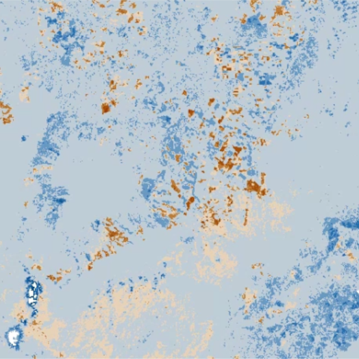
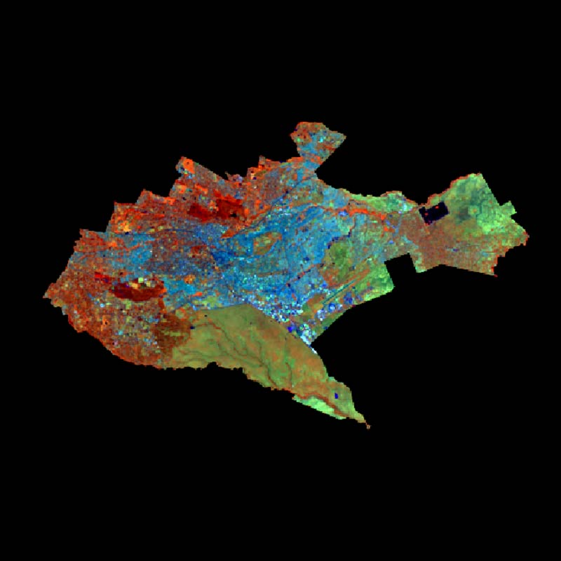
Using Landsat Thermal Bands for Temperature Change
North Island's Hidden Heat - Taupo Volcanic Zone
The Taupo Volcanic Zone (TVZ) in New Zealand’s North Island is home to numerous geothermal features, from volcanoes and calderas to underground geothermal fields and geysers. Prior to the Resource Management Act in 1991, many geothermal resources in New Zealand were exploited and damaged beyond repair by the power generation. This study investigated the change in temperature of the TVZ from 1990 to 2023 using thermal bands from Landsat imagery to see if there have been temperature decreases around the geothermal areas because of geothermal power generation. References
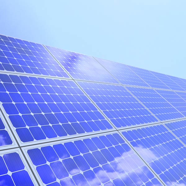
Solar Parking Canopies at University of Rhode Island
Cost-Benefit Analysis
Two alternatives to the status quo were analyzed to determine the net social benefits of installing solar parking canopies at the University of Rhode Island: direct ownership and third-party ownership. The costs considered were purchasing, installation, and maintenance costs of the solar parking canopies, as well as purchased electricity. Benefits included the federal solar Incentive Tax Credit, Rhode Island Renewable Energy Fund Grant, carbon reduction, net metering credits, and scrap value of the solar parking canopies. Purchasing and installation of the solar parking canopies incurs the highest project cost. Third-party ownership yields the highest benefits because of the Incentive Tax Credit.
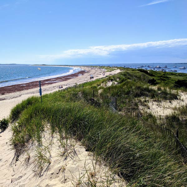
Utilization of Small UAS for Natural Resources Mapping
Baseline Mapping of Napatree Point Conservation Area
Monitoring of storm-driven ecosystems requires timely data collection after storm events. Traditional mapping techniques require contracting geospatial data acquisition services, which take time to set up and can cost a substantial amount. The use of small unmanned aerial systems (UAS) was tested using a DJI Phantom 4 Pro to gather data for the mapping of Napatree Point Conservation Area. The data were used to produce a high-resolution orthomosaic with 3.14-centimeter pixel size. Although there are limitations to using small UAS for gathering geospatial data, this project demonstrated their utility and cost effectiveness.
Agriculture in Rhode Island
Climate Change Impact Assessment
If current trends in climate change continue, the agricultural sector of Rhode Island will suffer catastrophic consequences by the year 2100. This analysis monetizes the predicted agricultural loss to the state of Rhode Island due to climate change over the 21st century. Monetization is performed by estimating and then discounting losses to determine the net present value of the losses. The resulting calculated losses prove that Rhode Island's agricultural sector will be adversely affected due to climate change. Without adaptation to mitigate the affects of climate change, these losses will cause Rhode Island's gross domestic product to suffer.
Remote Sensing in Natural Resources Mapping
Land Cover Change Analysis of Nairobi, Urbanization and Rising Frequency of Flooding
More frequent flooding is becoming a serious problem in Nairobi, causing millions of dollars in damages and in some case, loss of life. With the increased likelihood of heavy rainfall events due to climate change, understanding the causes of flooding are key to mitigation and prevention. This report uses remotely sensed Landsat satellite imagery to determine the land cover change to urban from 1986 to 2016. During this time period, urban land cover increased 13 percent, resulting in the loss of rangeland and vegetation/agriculture land cover. Action must be taken to alleviate the causes of flooding as soon as possible, and in the future more thoughtful urban planning is needed as the city continues to expand.
If you're into poetry…